|
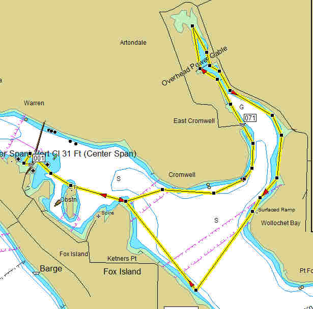
Fox Island to Wollochet Bay |
|
|
|
Fox Island to Wollochet Bay |
|
|
| Launch Point | |
| Max Difficulty: | SK I/II |
| Paddle Length/Time | 9.8 nm / 11.3 sm/ 4+ hours |
| Tide/Current Station | Arleta, Hale Passage/Hale Passage (N end) |
| Destination | Wollochet Bay |
| Description | Lunch from the Fox Island end of the Fox Island access bridge. Launch from the south end of the bridge, parking is limited. Paddle east along the Fox Island shore crossing over near Ketners Pt. paddle into Wollochet bay exploring the shore line homes. There is a ramp halfway up the bay it is small but big enough to use as rest break. Continue into the Bay explore as far as the tide will let you. Plan on paddling the opposite shore coming out. This is a nice and relaxing paddle. |
| Back to South Sound Paddle Map | Return to Kayak NW Home Page |